Select an area to see its geology, the stops on our tours and the experiences you can book.
Las explicaciones científicas detalladas del Geo Lab siguen en inglés. Se traducirán cuando nuestro geólogo las haya aprobado.
Northern Oman, with the whole country in the inset. Outline: Natural Earth 1:50m (public domain). Markers are approximate areas from GeoAstro’s own place list — not individual sites. No geological boundaries are shown; a licensed geological map is required for that. Landscape region names are approximate labels, not boundaries. Across the whole country (inset): Musandam in the far north, the Al Hajar Mountains, the Sharqiya (Wahiba) Sands, the Al Huqf area and Masirah in the centre-east, desert plains and the Rub’ al Khali in the west, and the Dhofar Mountains in the south.
Explore the map
Geology route · approximate area
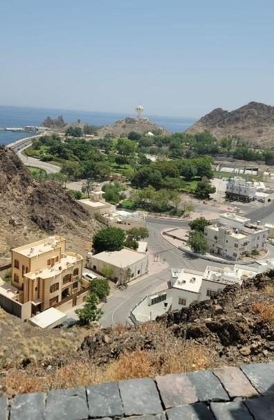
Muscat geology route
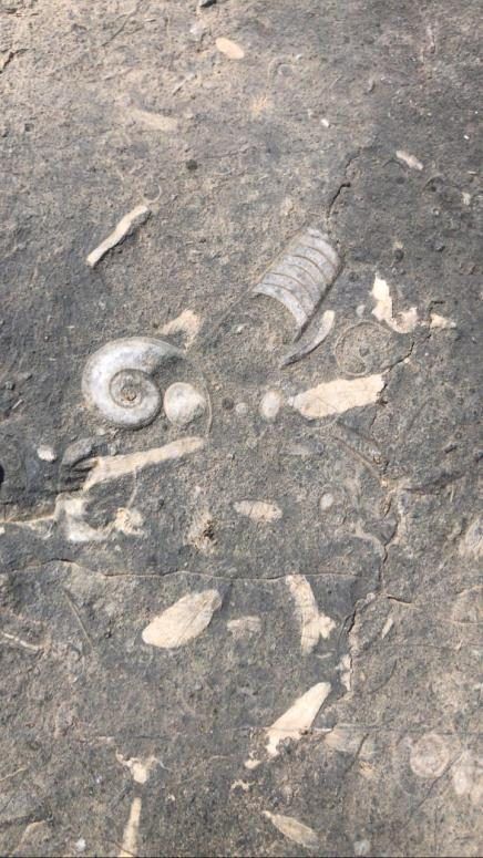
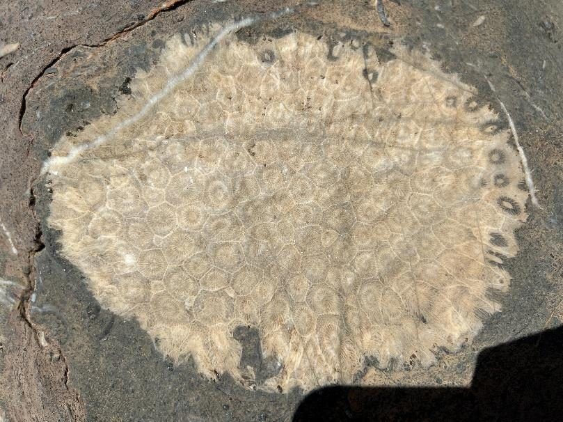
Around Muscat, rocks of the Samail ophiolite, high-pressure metamorphic rocks of the Saih Hatat area and younger fossil-rich limestones lie close together — a compact journey through Oman’s tectonic history.
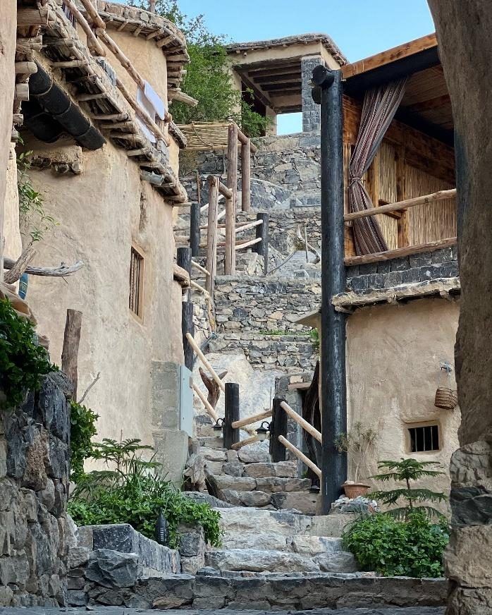
Jabal Akhdar is a great dome-shaped fold of the Oman Mountains. Erosion has exposed thick limestone layers and, deeper in its core, much older rocks including Neoproterozoic glacial deposits.
Un mensaje de WhatsApp es una consulta, no una reserva confirmada. Nuestro equipo te responderá para confirmar la disponibilidad, los detalles y el programa. Las experiencias dependen del cielo y del tiempo.