Select an area to see its geology, the stops on our tours and the experiences you can book.
Northern Oman, with the whole country in the inset. Outline: Natural Earth 1:50m (public domain). Markers are approximate areas from GeoAstro’s own place list — not individual sites. No geological boundaries are shown; a licensed geological map is required for that. Landscape region names are approximate labels, not boundaries. Across the whole country (inset): Musandam in the far north, the Al Hajar Mountains, the Sharqiya (Wahiba) Sands, the Al Huqf area and Masirah in the centre-east, desert plains and the Rub’ al Khali in the west, and the Dhofar Mountains in the south.
Explore the map
Geology route · approximate area
Muscat geology route
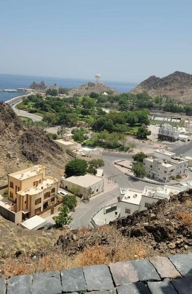
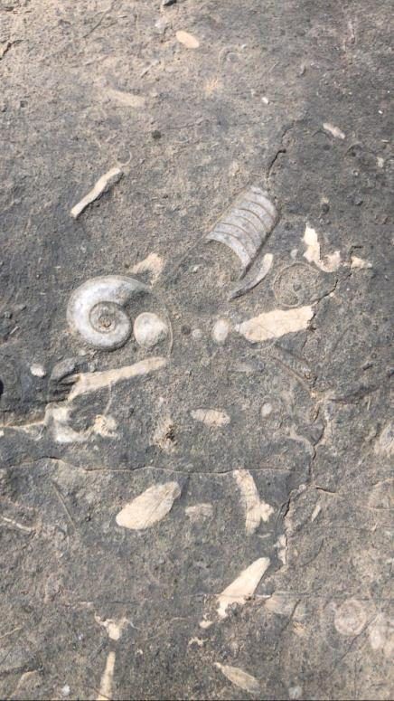
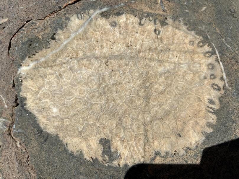
Around Muscat, rocks of the Samail ophiolite, high-pressure metamorphic rocks of the Saih Hatat area and younger fossil-rich limestones lie close together — a compact journey through Oman’s tectonic history.
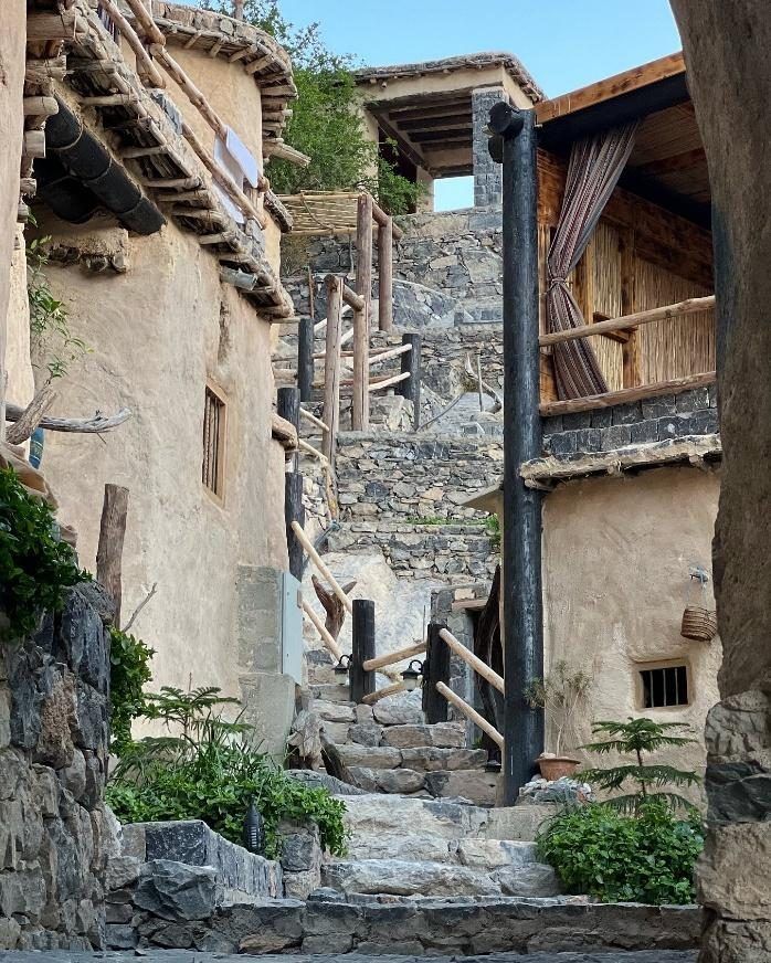
Jabal Akhdar is a great dome-shaped fold of the Oman Mountains. Erosion has exposed thick limestone layers and, deeper in its core, much older rocks including Neoproterozoic glacial deposits.
A WhatsApp message is an enquiry, not a confirmed booking. Our team will reply to confirm availability, details and the programme. Experiences depend on sky and weather conditions.